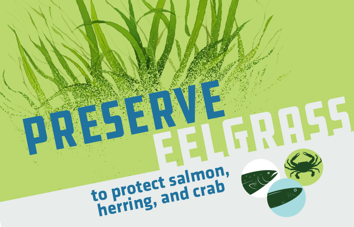
Eelgrass Protection
The Importance of Eelgrass
Eelgrass is a flowering plant that grows in shallow, nearshore environments where ample sunlight is available. Eelgrass is a sensitive and important keystone species in the Salish Sea that provides habitat for a wide variety of organisms including Pacific herring, juvenile salmon, and Dungeness crab. Aside from providing foraging habitat, nursery habitat, and shelter for many organisms, it also helps prevent shoreline erosion by stabilizing sediments with its roots.
To further understand the distribution of subtidal eelgrass cover in Wildcat Cove, Washington Department of Natural Resources mapped bathymetry and vegetation using a single beam echosounder and a Multibeam sonar. Submerged video was collected to truth the sonar data.
Wildcat Cove Mapping Report. (2023). Washington Department of Natural Resources.
David Wallin, Western Washington University, used an Unoccupied Aerial System (UAS) to assess percent cover of eelgrass and algae and changes in cover between dates.
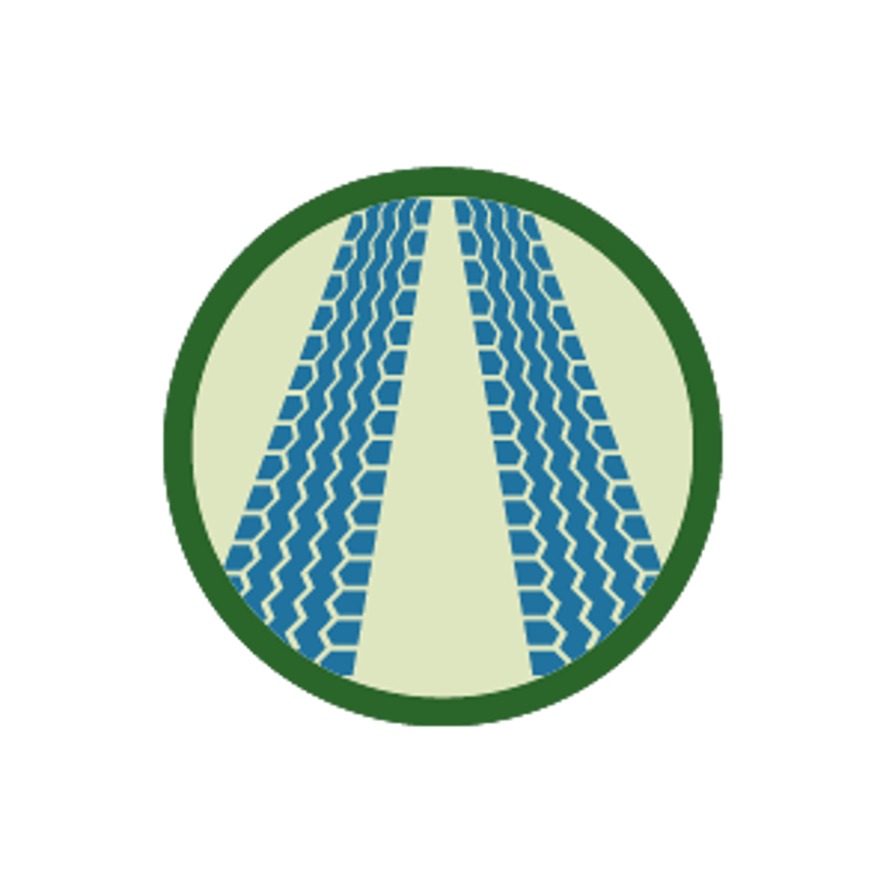
The MRC worked with Peak Sustainability to understand what key messaging strategies could foster a voluntary reduction of boat launch users driving onto the Wildcat Cove tide flat. This messaging was incorporated into the social marketing materials shown below.
Wildcat Cove Social Marketing Analysis Report. (2023). Peak Sustainability Group.
Eelgrass Protection at Wildcat Cove
Avoid driving, trampling, or dragging your boat across eelgrass in Wildcat Cove, especially during low tide. Even footsteps can harm eelgrass!
Here's how you can help protect Wildcat Cove

Check tide charts first!
Ensure you launch and haul out your boat at a 4 foot tide or higher. Avoid walking or driving across eelgrass to protect local wildlife.
Use a single path to access the boat launch.
Be careful about where you drive. Try to limit your vehicle impacts to a smaller, more manageable area.

Avoid driving, trampling, or dragging your boat across eelgrass beds.
Eelgrass is incredibly fragile and important. Please treat it with care!